Sunrise over the Atlantic or sunset on the Indian River Lagoon? In Melbourne Beach, you get to pick your horizon. If you are deciding between oceanfront and riverside living, you are weighing lifestyle, access, and long-term costs that play out differently on each side of the barrier island. This guide breaks down what matters most so you can choose with confidence. Let’s dive in.
Melbourne Beach at a glance
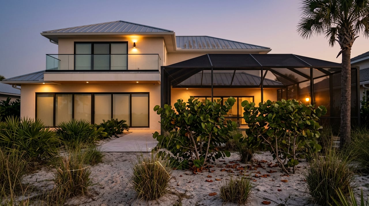
Melbourne Beach sits on a slender barrier island between the Atlantic Ocean and the Indian River Lagoon. The town covers about 0.99 square miles of land and had 3,231 residents at the 2020 Census.
As a market baseline, recent public trackers show broad price points: Zillow’s local Home Value Index was about 605,561 dollars as of January 31, 2026, and Redfin’s median sale price was around 650,000 dollars that same month. Direct water exposure, frontage, and elevation can swing prices well above or below those figures.
Town utilities are straightforward. Water service is provided by the City of Melbourne and sewer service by Brevard County Utility Services. You should confirm water and sewer connections for each parcel during due diligence.
Oceanfront vs riverside: daily life
Views and rhythm
- Oceanfront: You wake to wide-open Atlantic views and direct sunrises. Expect steady sea breezes, surf sounds, and immediate beach access.
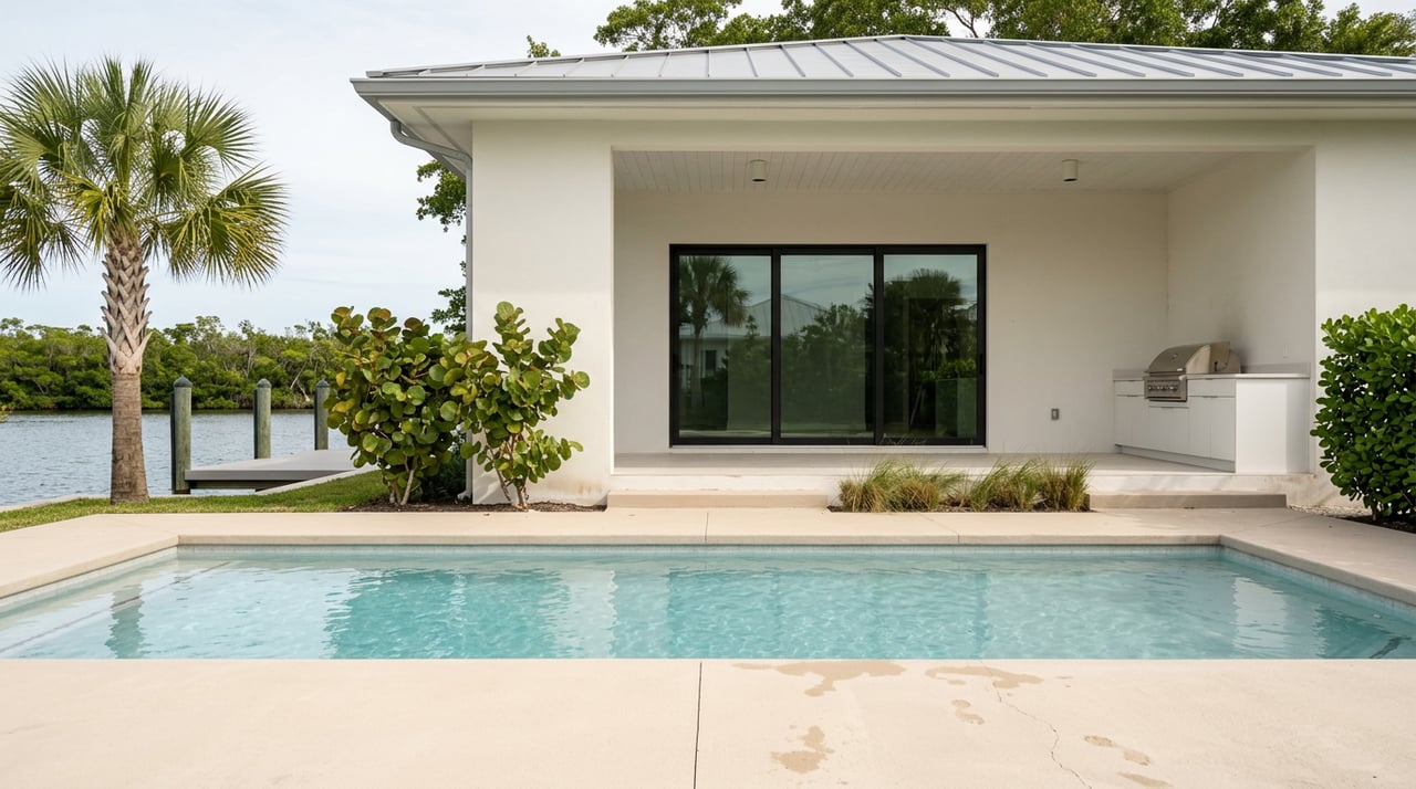
- Riverside: You enjoy calm water views, broad sunsets, and often quieter mornings. Many homes back to the lagoon or canals and may include private docks and boat lifts. For boating context, Melbourne Harbor details its Intracoastal location and distances to inlets, which helps you plan run times offshore.
Access and wildlife rules
- Oceanfront access: You live along a globally significant sea turtle nesting coastline. The Archie Carr National Wildlife Refuge spans this area, so expect stricter exterior lighting rules during nesting season. Turtle-safe lighting practices are part of local code and state guidance.
- Riverside access: Day-to-day boating, paddle sports, and fishing are simpler. Private docks or nearby ramps make it easy to get on the water. Check current ramp conditions and any seasonal notices when you evaluate locations.
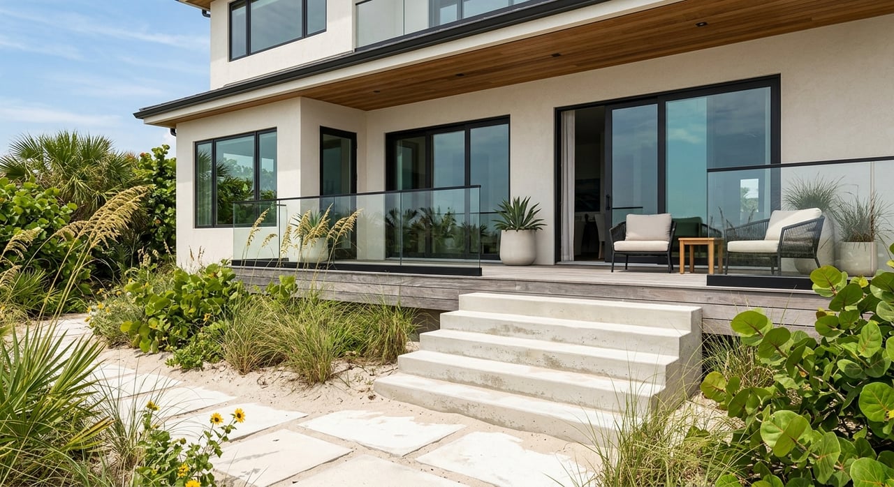
Building, elevation, and permitting
Oceanfront construction realities
Many oceanfront lots fall in FEMA Coastal High Hazard (VE) or other high-risk zones. Elevated, pile-supported foundations and flood-resistant materials are common. Verify flood zone, base flood elevation, and request an Elevation Certificate for each address at the FEMA Flood Map Service Center.
If any work is proposed seaward of Florida’s Coastal Construction Control Line, you will coordinate early with the state. Start with the Florida DEP’s page to locate the CCCL and understand jurisdiction. Dune protection, setbacks, and beach-compatible design are typical review items.
Riverside construction realities
Riverfront homes often sit on seawalled or canal lots and feature docks and boat lifts. Flood zones vary by parcel. Some areas are AE or A zones, which still require elevation above Base Flood Elevation but may allow certain slab-on-grade approaches depending on exact site data.
Shoreline and over-water improvements require permits. Review Brevard County’s process for residential marine construction permits for docks, lifts, and seawalls.
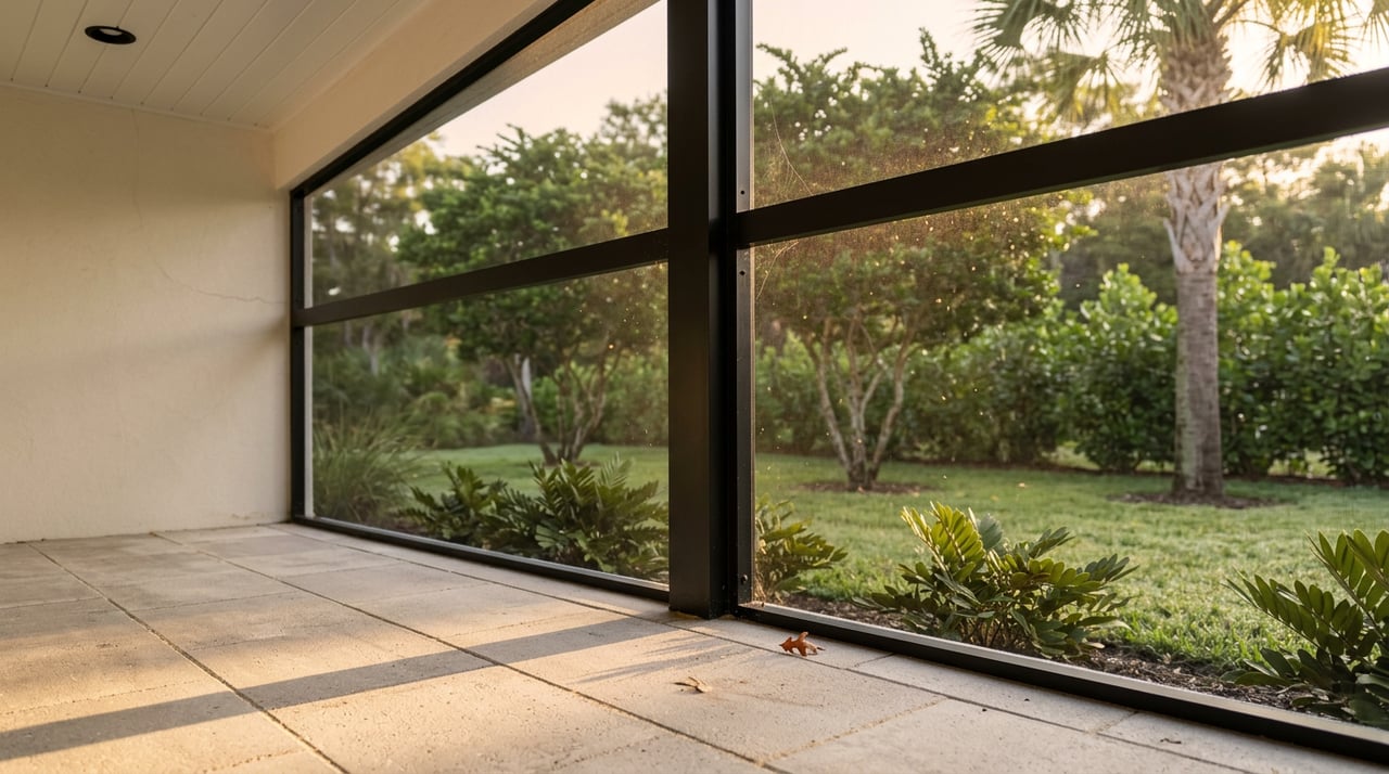
Maintenance and recurring costs
Oceanfront wear and tear
Salt spray, sand, and wind drive higher upkeep. Expect faster corrosion of metals, shorter paint cycles, and more frequent roofing and exterior inspections. Materials and detailing matter: stainless fasteners, marine-grade metals, and robust coatings help. The coastal environment is recognized as a high-corrosion setting by engineering guidance on waterfront and coastal structures.
Riverside upkeep
On the river side, you plan for seawall and dock maintenance. Watch for bulkhead undermining and piling wear, and budget for boat lift service. Any repair or replacement usually involves county permitting, and sometimes state coordination for work in or over the water. Start with Brevard’s marine construction permit resources.
Insurance, lending, and regulatory costs
Flood insurance basics
If a property lies in a Special Flood Hazard Area, federally regulated lenders require flood insurance. VE zones on the oceanfront face stricter build standards and often higher exposure. FEMA’s Risk Rating 2.0 sets premiums by property-specific risk factors. Always verify the flood zone and elevation for the exact parcel at the FEMA Map Service Center.
Wind and homeowners insurance
Florida’s insurance market continues to evolve. Recent state communications note signs of market stabilization and some rate relief, but availability and premiums remain address-specific. Review the latest state updates from the Florida Office of Insurance Regulation and obtain quotes early in your search.
Environmental context and long-term value
Beach renourishment and dunes
Brevard County runs an active Beach Management Program with periodic renourishment. After major storms, projects can significantly affect beach width and dune health in the short to medium term. Track timing, funding, and permit conditions through the county’s Beach Management Program during due diligence.
Indian River Lagoon health
The lagoon has faced seagrass loss and water quality challenges. Brevard County’s Save Our Lagoon program funds restoration and pollution reduction projects, which influence recreational quality and long-term riverfront appeal. You can review project scope and locations in the Save Our Indian River Lagoon Project Plan.
Scarcity and premium
Direct oceanfront lots are scarce and typically command a premium for views and beach access. Riverfront parcels with deepwater docks are also prized, with value shaped by canal depth, dock condition, and navigation to inlets. Public investments in dunes and lagoon restoration support value on both sides, just in different ways.
Which side fits your lifestyle?
You might prefer oceanfront if you want
- Immediate beach access and daily sunrise views.
- A more energetic coastal environment with steady breezes and surf.
- Willingness to budget for elevated construction, dune stewardship, and higher exposure to salt, wind, and potential flood risk.
You might prefer riverside if you want
- Easier, calmer-water access for boating, fishing, and paddle sports.
- Sunset views and often quieter immediate surroundings.
- A focus on dock and seawall upkeep, with potentially different flood and wind exposures than direct oceanfront sites.
Cost and convenience comparison
Oceanfront highlights
- Access: Walk-out beach access is common.
- Privacy: Some stretches see more public beach activity.
- Upkeep: Higher exterior corrosion and roofing cycles; lighting rules during turtle season.
- Risk profile: Often VE or higher-risk zones; elevated foundations are common.
- Regulatory: CCCL and dune protection reviews may apply.
Riverside highlights
- Access: Private docks and nearby marinas simplify boat days.
- Privacy: Often calmer day-to-day feel along canals or lagoon.
- Upkeep: Seawall, dock, and lift maintenance on a recurring schedule.
- Risk profile: Often AE or A zones, but parcel-specific; elevation still matters.
- Regulatory: Marine construction permits and shoreline rules govern work.
Your due diligence checklist
Use this quick list to compare specific addresses with fewer surprises.
- Verify flood zone and Base Flood Elevation at the FEMA Map Service Center. Request the property’s Elevation Certificate if available.
- For oceanfront parcels, confirm whether any planned work falls seaward of the CCCL. Start with the DEP’s CCCL locator and guidance.
- For riverfront parcels, ask for permit history on docks and seawalls, and review Brevard County’s residential marine construction permit process.
- Confirm utilities and connections. Review the town’s guidance on water and sewer service and request recent bills.
- Obtain current homeowners (wind) and flood insurance quotes early. Review statewide market context from the Florida Office of Insurance Regulation.
- If boating is a priority, map your route to inlets and favorite fishing grounds. Use marina distance references like Melbourne Harbor’s location page to estimate transit times.
- Check environmental context. On the ocean side, review the county’s Beach Management Program for renourishment schedules. On the river side, look at the Save Our Lagoon Project Plan for nearby projects and water-quality efforts.
Choosing between the ocean and river in Melbourne Beach is not just about the view. It is about how you plan to use the water, your appetite for maintenance, your insurance profile, and how public projects shape the shoreline over time. With a clear plan and the right local guidance, you can prioritize what matters most and buy with confidence.
Ready to compare addresses, flood zones, permits, and boating or beach access side by side? Connect with MVP Sales Group (Meili Viera) to schedule your personalized Space Coast market consultation. We will help you weigh lifestyle and long-term value on both sides of the island so your coastal home fits the way you live.
FAQs
What are the biggest cost differences between oceanfront and riverside in Melbourne Beach?
- Oceanfront typically sees higher exterior maintenance and more stringent elevation or coastal permitting. Riverside often adds recurring seawall, dock, and lift upkeep. Insurance varies by parcel risk on both sides.
How does flood insurance work on the barrier island?
- If a home is in a Special Flood Hazard Area, lenders require flood insurance. Premiums reflect property-specific risk under FEMA’s Risk Rating 2.0. Always verify the flood zone and elevation for the exact address.
Do oceanfront homes have special lighting rules because of sea turtles?
- Yes. Local code and state guidance require turtle-friendly lighting during nesting season along this coast, which includes the Archie Carr National Wildlife Refuge corridor.
What permits are needed for a dock or seawall on the river?
- Most shoreline and over-water work requires Brevard County permits, and some projects need additional state reviews. Expect engineered plans and inspections for docks, lifts, and seawalls.
What should boaters consider about access from Melbourne Beach to the Atlantic?
- Check distances to inlets, typical run times, and any navigation or bridge constraints. Assess canal depth, dock condition, and lift capacity to match your vessel and use.
How do beach renourishment projects affect oceanfront property?
- Renourishment can widen beaches and bolster dunes in the short to medium term. Project timing, funding, and permit conditions matter, so review current county plans when evaluating an oceanfront parcel.
Who provides water and sewer service in Melbourne Beach?
- Water is provided by the City of Melbourne and sewer by Brevard County Utility Services. Confirm service and connections for each specific property during due diligence.